
The Ahtna people have called the Copper River region home for thousands of years. Geographical and cultural site place names have identified every river, stream, mountain, subsistence camp, spiritual and other site with an Ahtna name. To reach all of these named sites, the Ahtna Elders had a vast and extensive trail network throughout the region.
Over the past 5-6 years the Land Department has been piecing together the Ahtna trail system, utilizing historical maps from the late 1700’s and early-to-mid 1800’s, Ahtna Elder oral history recordings, existing local knowledge and other research material.
Currently there are over 2,000 miles of Ahtna trails identified by type of use, e.g. seasonal subsistence patterns (hunting, fishing, gathering, trapping) and commercial trade, both in-region trade and trade routes to other parts of the State and present-day Canada. Many more trails have yet to be identified and mapped.
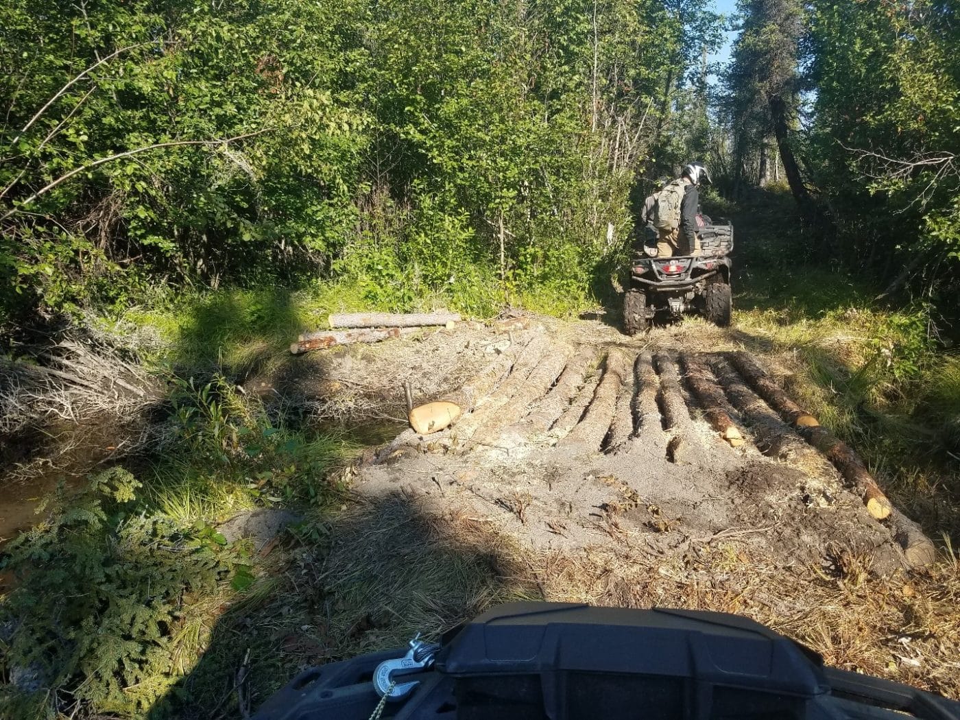
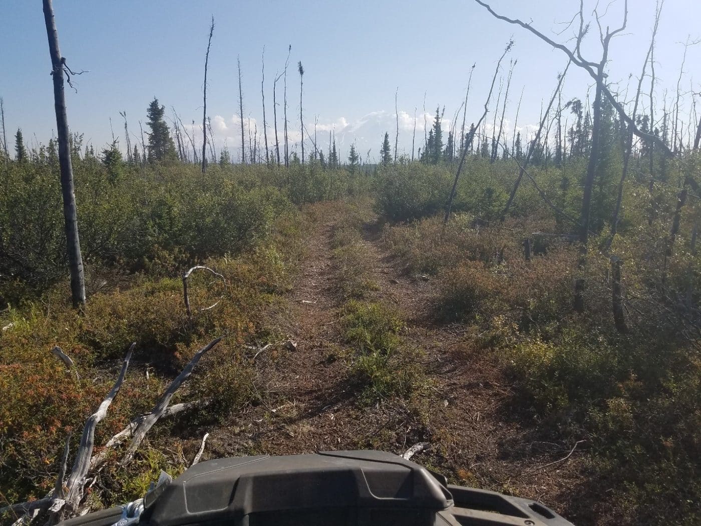
One of the many subsistence trails reached the Upper Klawasi River and portions of Mount Drum area, primarily as a hunting and trapping trail. In 2019 the Native Village of Kluti-Kaah was contracted to re-construct portions of the trail to the traditional hunting and trapping grounds. In 2021 the trail was completed with five new ATV log bridges and 20 miles of brushed and hardened trail located on private Ahtna lands. The Klawasi Trail now accesses the Roy S. Ewan subsistence cabin and airstrip, and users can reach the Chelle Lake and Upper Sanford River drainages 10 miles further to the north.