
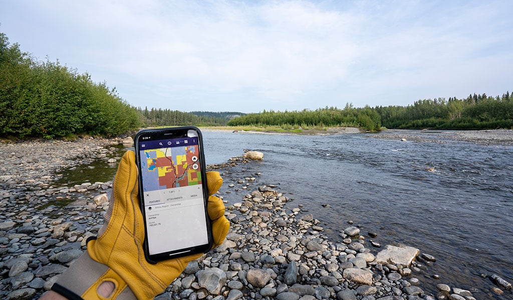
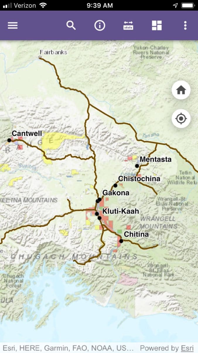
The Ahtna Land department has developed a mapping app to help locals and visitors to the region determine who owns the land they are exploring. The app clearly shows property boundaries and public and private land ownership in the Region. Your mobile device’s GPS interacts with the map to give you real-time location-based intelligence. An Ahtna Land Use Permit is required for activities on Ahtna lands and the app can help you plan accordingly. Purchase an Ahtna Land Use permit online.
Using the app you can search for locations, view the land ownership legend, measure distances between points and apply map overlays such as topographic and satellite imagery.
The Land Department plans to add additional features to the app and questions and feedback can be directed to ahtnalands@ahtna.net.
Download Instructions
To download the FREE app, go to the iPhone® App Store or Android™ Google Play Store and search for Ahtna. Look for “The Ahtna Region” app and tap the INSTALL button.
Once installation has completed open the app and click on the START button on the home screen. An interactive map of the Ahtna region will display. Turn on location services for real-time location-based intelligence*.
*Cell service is required for real-time location services.