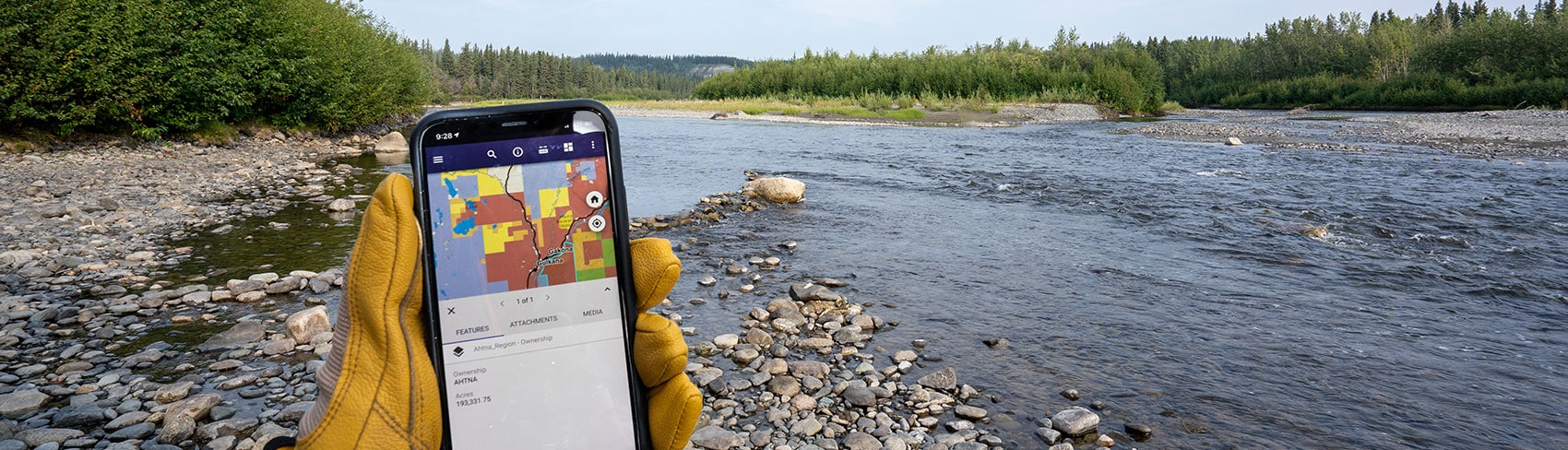

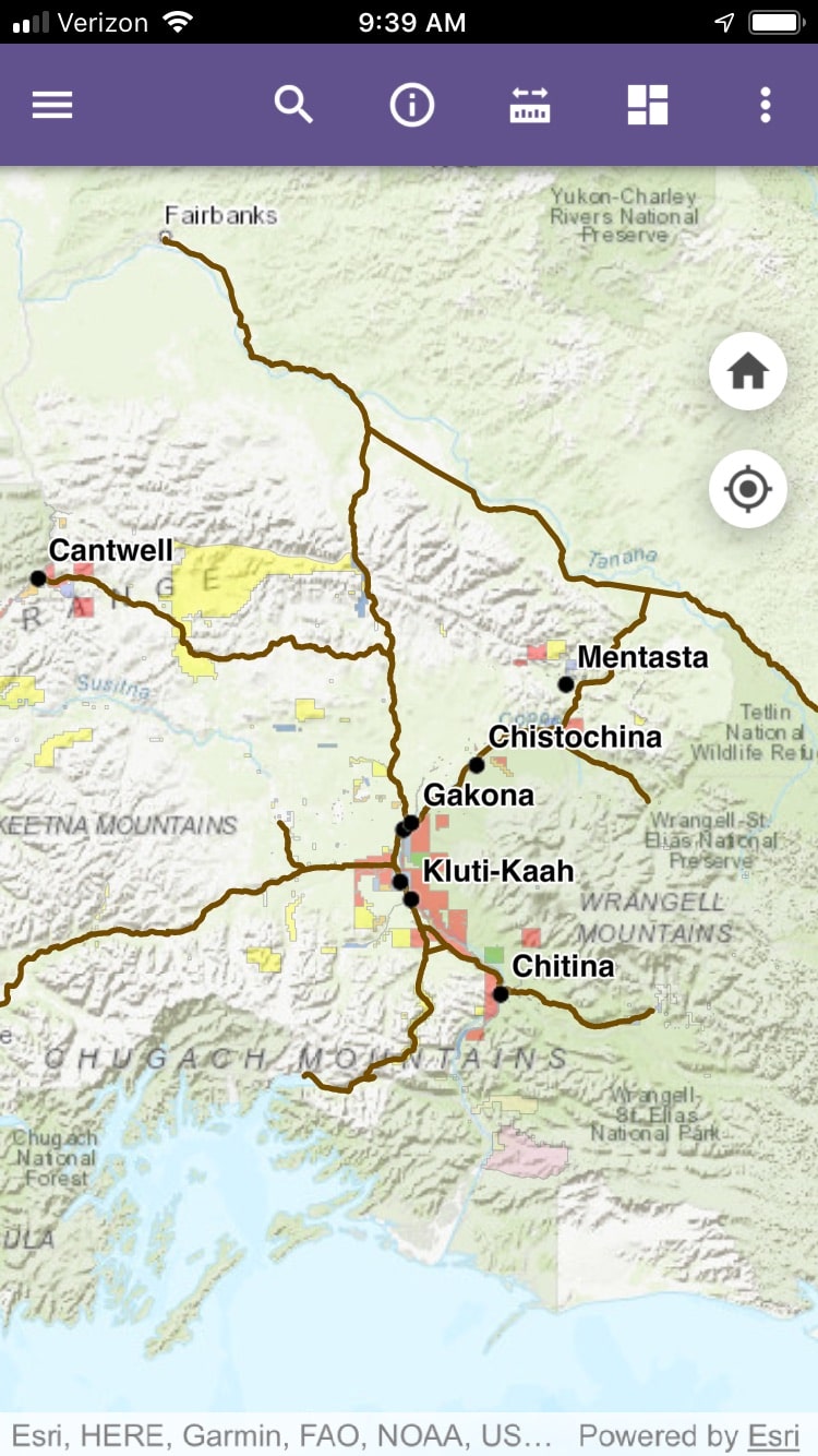
Regional Map App
The Ahtna Land department has developed a mapping app to help locals and visitors to the region determine who owns the land they are exploring. The app clearly shows property boundaries and public and private land ownership in the Region. Using the app you can search for locations, view the land ownership legend, measure distances between points and apply map overlays such as topographic and satellite imagery.
Download Instructions
To download the FREE app, go to the iPhone® App Store or Android™ Google Play Store and search for Ahtna. Look for “The Ahtna Region” app and tap the INSTALL button.
Once installation has completed open the app and click on the START button on the home screen. An interactive map of the Ahtna region will display. Turn on location services for real-time location-based intelligence*.
*Cell service is required for real-time location services.
Land Status in the Ahtna Region
Ahtna, Inc. strives to make the land status on these maps as accurate as possible, we cannot guarantee the accuracy of the contents and expressly disclaim liability for errors and omissions in the contents of these maps. Please contact the Bureau of Land Management or State of Alaska for more specific details.